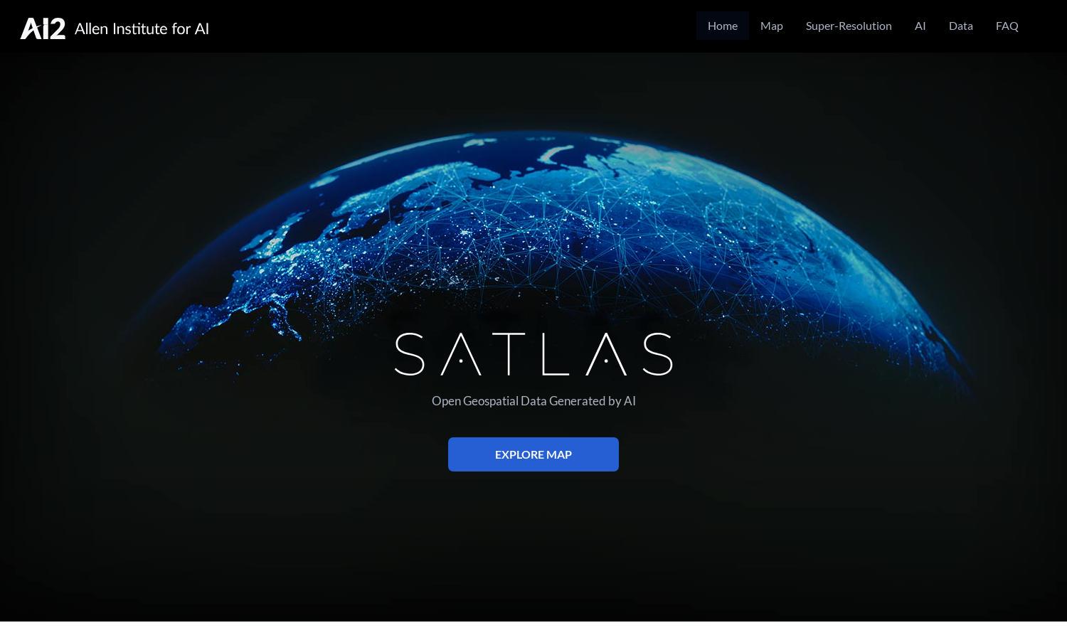
Satlas

About Satlas
Satlas provides a powerful platform for environmental monitoring using AI-enhanced satellite imagery. Aimed at researchers, policymakers, and enthusiasts, Satlas offers super-resolution processing capabilities, allowing users to visualize the rapid changes in our planet’s infrastructure and ecosystems. Its AI models reveal critical insights and data.
Satlas offers free access to its geospatial datasets, enhancing research and analysis opportunities. While no paid plans are mentioned, users can download extensive datasets for offline use. For advanced features, users can benefit from the platform's AI models and training labels, fostering deeper insights at no cost.
The user interface of Satlas is designed for clarity and ease of navigation, showcasing satellite imagery and related data seamlessly. Users can easily access features like super-resolution and geospatial datasets, with user-friendly layouts fostering an engaging experience and quick access to critical environmental information.
How Satlas works
To interact with Satlas, users start by navigating the main interface where they can explore various satellite imagery and data features. They can access super-resolution capabilities, view changes in infrastructure over time, and download AI-generated geospatial datasets for detailed analysis—all in a straightforward and intuitive manner.
Key Features for Satlas
AI-annotated satellite imagery
Satlas offers AI-annotated satellite imagery that reveals critical changes in our environment. Users can leverage advanced AI models to analyze dynamic infrastructure shifts and ecosystem changes, empowering researchers and policymakers with insights crucial for informed decision-making on global environmental issues.
Super-resolution technology
The super-resolution technology in Satlas enhances low-resolution satellite images, providing users with high-quality visuals of various environmental changes. This feature allows for detailed analysis of marine and renewable energy infrastructures, showcasing the platform’s unique ability to improve imagery for comprehensive research and observation.
Publicly available geospatial datasets
Satlas offers a suite of publicly available geospatial datasets, enabling users to download and analyze extensive remote sensing data. This key feature fosters open research opportunities, allowing scientists and enthusiasts to investigate environmental changes and infrastructure developments with easy access to vital information.
You may also like:


